| Rossum, Sisters: Mariënakker |
 | |
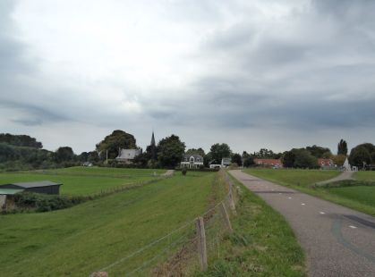
| The sisterhouse of Rossum was situated on the dike of the river Waal, locally called Kloosterdijk | Full Map on Geoplaza. |
| IDNR: | R30 |
| Parish: | Rossum |
| Municipality: | Maasdriel |
| Patron Saint: | Our Lady |
| Alias: | Mariënakker (Our Lady's Field) |
| Diocese: | Utrecht |
| Diocese II: | 's-Hertogenbosch |
| Province: | Guelders |
| Province II: | |
| Gender: | f |
| Development: | Sisters 15th century |
| Filiation: | branched off from sisterhouse Ten Orthen (H64) |
| End of monastic life: | 1579*: contract for pensioning |
| Narrative Sources (CK): | - |
| Narrative Sources (NS): | - |
| Manuscripts (SV): | - |
| Archives: | - |
| Literature: | De Voecht (1908) 81; Maris (1939) 100; 246-247; Van Schaïk (1987) 298 |
| Third Order: | - |
| Monasticon Batavum: | II 164 |
MeMO: | - | |
Van Deventer: | |
National monument: | |
| Coordinates: | ca. 152/423B |
Archaeological Monument: | 15697 | |
Archaeological Status: | av | |
Archaeological Activities: | excav 1830; drill inquiry 1984; excav 1999 | |
Archaeological Publication: | Goossens and Van der Veen (2013) 51 | |
| First mention: | 1500 |
| Last mention: | 1579 |
| ENK code: | ME-Z135-017 |
 Monasteries
Geoplaza Home
Monasteries Map
Monasteries
Geoplaza Home
Monasteries Map
