
details
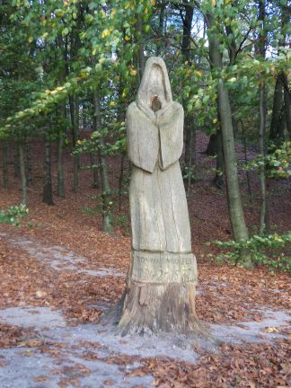
| Arnhem, Carthusians: Monnikhuizen | |
 | |
| Full Map on Geoplaza. | |
| IDNR: | A49 |
| Parish: | Arnhem |
| Municipality: | Arnhem |
| Patron Saint: | Our Lady |
| Alias: | Monnikhuizen |
| Diocese: | Utrecht |
| Diocese II: | Utrecht |
| Province: | Guelders |
| Province II: | |
| Gender: | m |
| Development: | (a) Carthusians ca 1335 (b) during the years 1350/1360 temporarily abandoned because of internal warfare in the Guelders dynasty |
| Filiation: | at the foundation probably monks from Cologne, Koblenz and Treves took part |
| End of monastic life: | 1572: flight within the wall Arnhem; 1578: most Carthusians, those who remain receive 'alimentatie' (pension); 1581 monastery devastated |
| Narrative Sources (CK): | - |
| Narrative Sources (NS): | - |
| Manuscripts (SV): | - |
| Archives: | GeA: 0311 |
| Literature: | Gruijs (1975) 191-195; De Backer (1983) and (1985|); Van Schaïk (1987) 302; Goders in: Schlegel and Hogg (2005) 161-172; ill. 52-63; Kuys (2008) 237-239 |
| Third Order: | - |
| Monasticon Batavum: | III 13-14 |
MeMO: | - | |
Van Deventer: | chapel, buildings, tree, moat'Monichuysen, Cartusienses'; [10] | |
| National monument: | |
| Coordinates: | 192/446 |
Archaeological Monument: | 3852 | |
Archaeological Status: | hav | |
Archaeological Activities: | find of tomb vaults 1930 and 1956; excav 1980 | |
| Archaeological Publication: | |
| First mention: | 1335 |
| Last mention: | 1578 |
| ENK code: | ME-P016-002 |